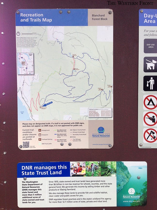
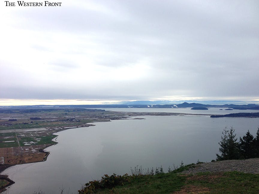
For this week, we take a look at the Oyster Dome area, as it is known locally. Officially, the area is referred to as Blanchard Forest Block Lower and Upper Trailhead according to signs posted in the area. The famous Oyster Dome, known for its wildly glorious sweeping views and uphill climb. The Oyster Dome is how this area is known locally although, the Oyster Dome itself is actually only a relatively small portion of the overall trail system. According to trailhead signs posted at the lower trailhead, the Oyster Dome is the last leg of just one of the hikes you can take on Mount Blanchard. You can view this map here: http://file.dnr.wa.gov/publications/amp_rec_blanchard_fb_2012.pdf
Photo by Heather Bates
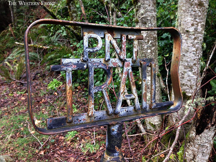
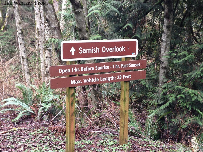
There are multiple ways to reach the Oyster Dome trail depending on where you are coming from. Experienced hikers can start on Chuckanut on foot, for a day-long hike. While, less experienced hikers can opt to start from the Lower Trailhead. From the lower trailhead, you will need to take the PNW Trail in order to connect to the Samish Bay trail which then connects to the Oyster Dome trail. If you just want to stop and enjoy the view however, the Lower Trailhead offers picnic tables, a parking lot and even bathrooms. According to signs posted at the PNW trailhead, the Department of Natural Resources is responsible for managing this land. The department is also responsible for managing and arranging contracts for logging rights in the area. Occasionally, the department will sell logging rights in order to funnel timber money back into the state government.The signs indicate that a good portion of department funds are allocated to schools for educational
Photo by Heather Bates
purposes while some of the money is used for other services or goes back into the state general fund. Since 1970, the Department of Natural Resources has generated over $6 billion in non-tax revenue according to signs posted by the department at the Lower Trailhead. *(pic included showing this data on sign at trailhead)Hang gliders can be seen flying away from the Lower Trailhead area in the summer months according to the signs which indicate that this activity is allowed in this area. In the winter, there is a very real danger of encountering snow and ice on the Upper Trailhead which leads to the Oyster Dome trail through March.
Photo by Heather Bates
When snow covers the Oyster Dome trail, it is impassable. Since the Oyster Dome trail is the last leg of a much longer loop, it is sometimes the only leg affected. The Oyster Dome is truly spectacular. Take the trip but bring a 4x4. The drive up to the Lower Trailhead is quite bumpy and steep in places but...it’s worth it.

